
Finalizing a deal?
Know its zoning before you sign.
Every appraisal, loan, and real estate transaction rests on one question: what can legally be done with this property? The answer lives in the local zoning code, and getting it wrong can swing a valuation by six figures or sink a deal at closing. The old way means decoding ordinances manually and calling the planning department. Land Use Labs gets you the right details in minutes.
Find the right product.
Select the option closest to your need to see which product fits.
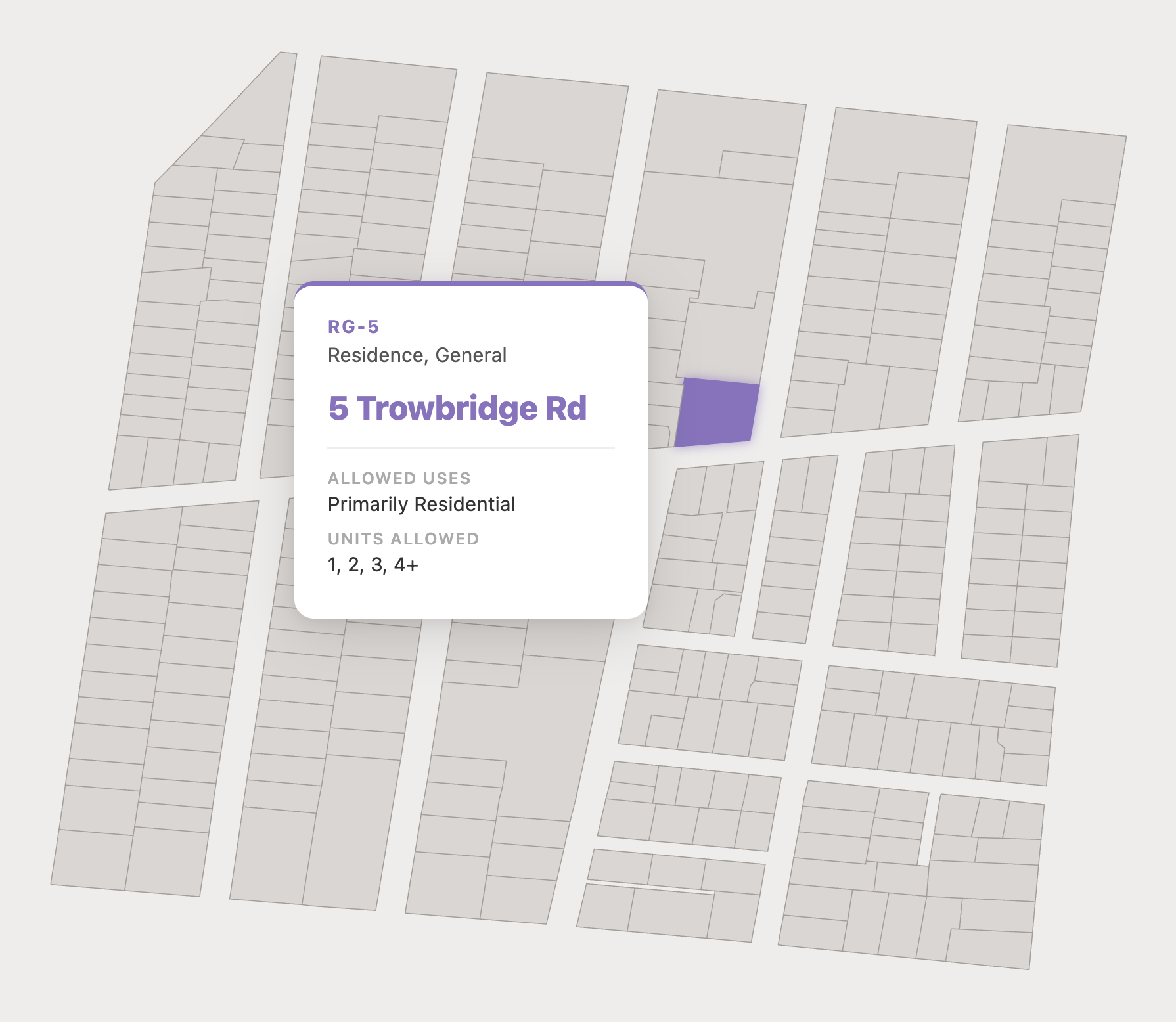
Check your deal pipeline with the Zoning API
The Zoning API returns the zoning for any address or coordinate pair: permitted uses, dimensional requirements, parking, and more, delivered as structured JSON. Connect it to your CRM or underwriting model, and zoning arrives with every new listing or deal.

Pull rules for any address with Parcel Reports
Our on-demand PDFs summarize every zoning rule for a specific parcel: the relevant district(s), allowed housing type(s), most common nonresidential uses, and key dimensional requirements like setbacks and height limits. Covering nearly 1.5 billion acres, Parcel Reports make due diligence and conformity analysis a breeze.
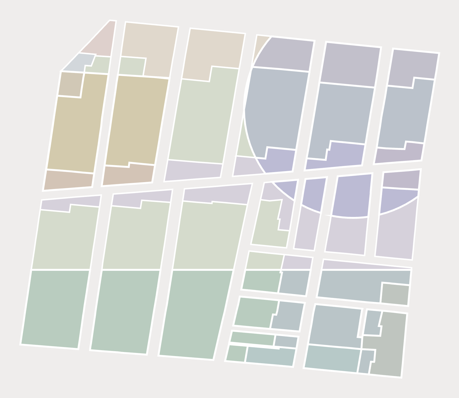
Screen a whole market with Zoning Slices
Zoning Slices compute prevailing rules across an entire area, so you can compare sites and screen a submarket at a glance instead of one address at a time. Slices turn zoning into a site selection engine, surfacing underbuilt parcels and by-right potential.
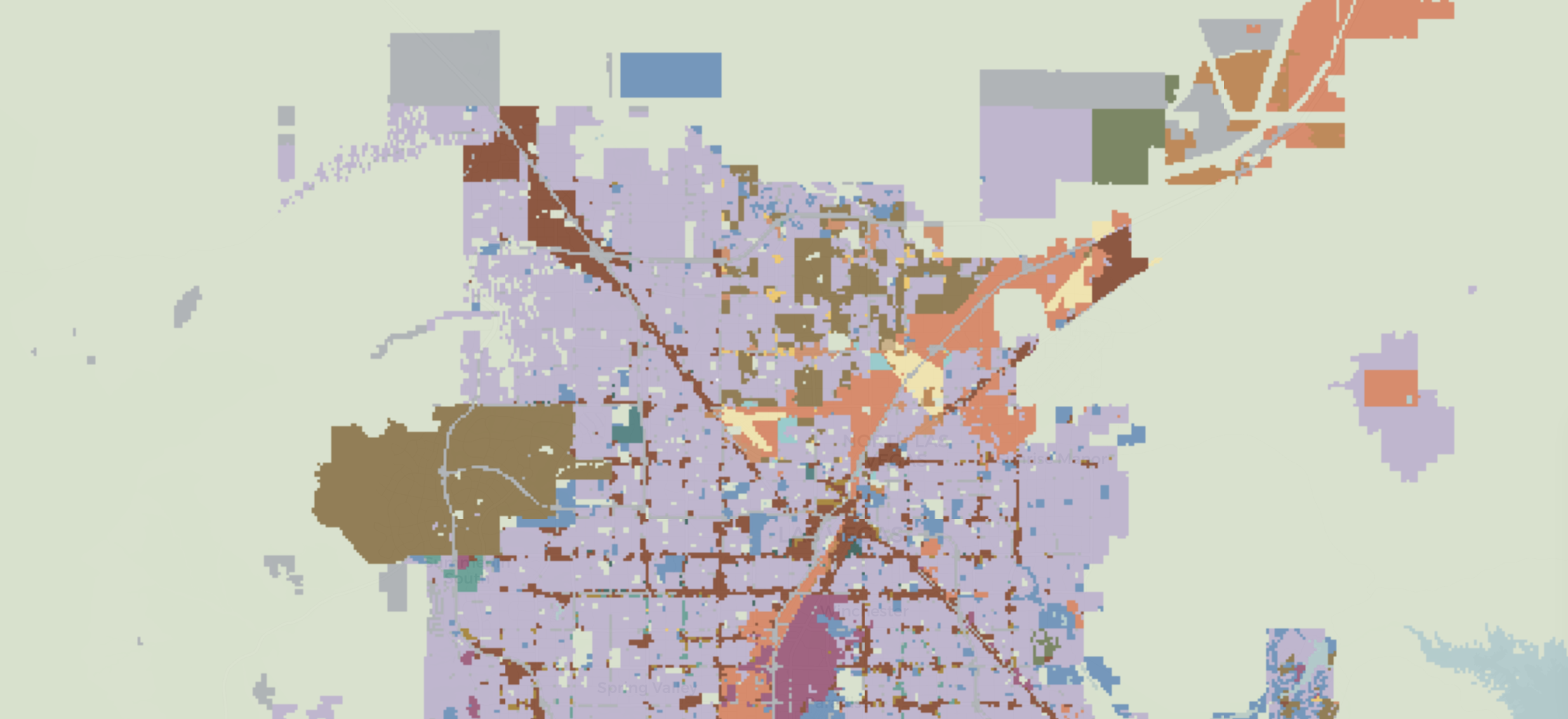
Need Extra Analysis?
If our off-the-shelf products don’t suit your needs, we can perform custom due diligence or help with site selection across a wide geography.
You give us your research question and parameters—we’ll do the rest.