Our Mission.
Land Use Labs provides developers, financial services and real estate professionals, policymakers, owners, planners, and researchers with industry-leading land use data that informs policy, development, and research.
What Drives Us
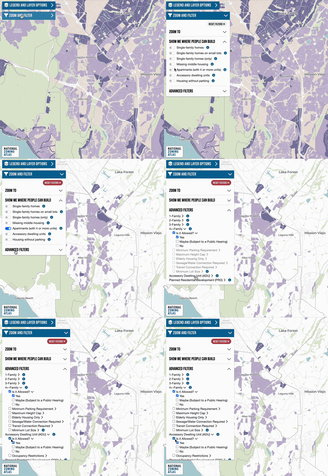
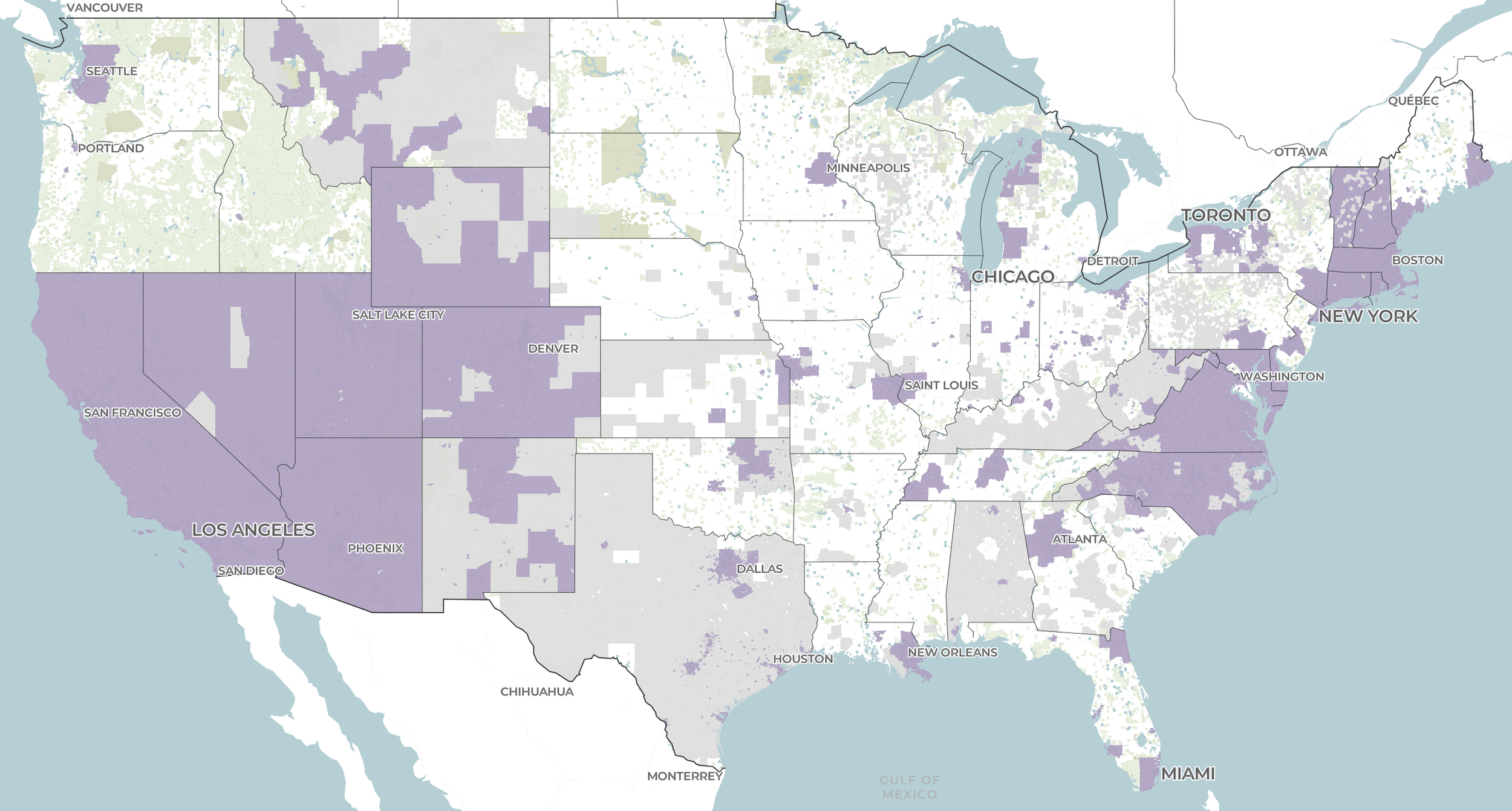
Land Use Labs is a mission-driven social enterprise built to leverage the most authoritative zoning dataset in the country to ensure the long-term viability of the free, public National Zoning Atlas (NZA): an interactive map and database digitizing, demystifying, and democratizing zoning information across the country’s 33,000+ jurisdictions. It has powered groundbreaking zoning advocacy, analysis, and research across the nation.
Since its founding in 2020, the NZA was built on philanthropic support. But sustaining a living dataset — one that keeps pace with zoning code changes across thousands of jurisdictions — demands a more durable model. Land Use Labs is that model.
By licensing our data, you support a valuable public resource. Thank you!