
Environmental reviews need zoning analysis.
No environmental analysis is complete without an understanding of local zoning. Until now, determining permitted uses, density requirements, and height limits has meant combing through separate codes and maps. Land Use Labs delivers zoning as standardized geospatial data, so the regulatory layer arrives at the same resolution as your environmental layers.
Find the right product.
Select the option closest to your need to see which product fits.
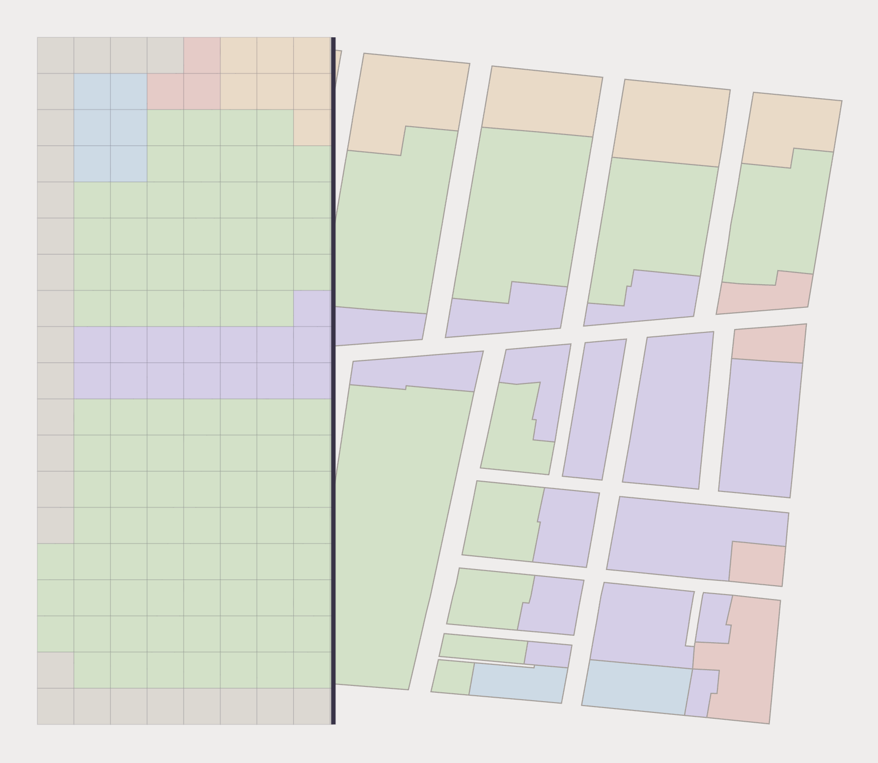
Screen study areas with Zoning Rasters
Rasters standardize residential and nonresidential uses into 30×30m grid cells. From agriculture to utilities to mining, Rasters stack directly with land cover, habitat, and hydrology geospatial data, making zoning one more input to your analysis.
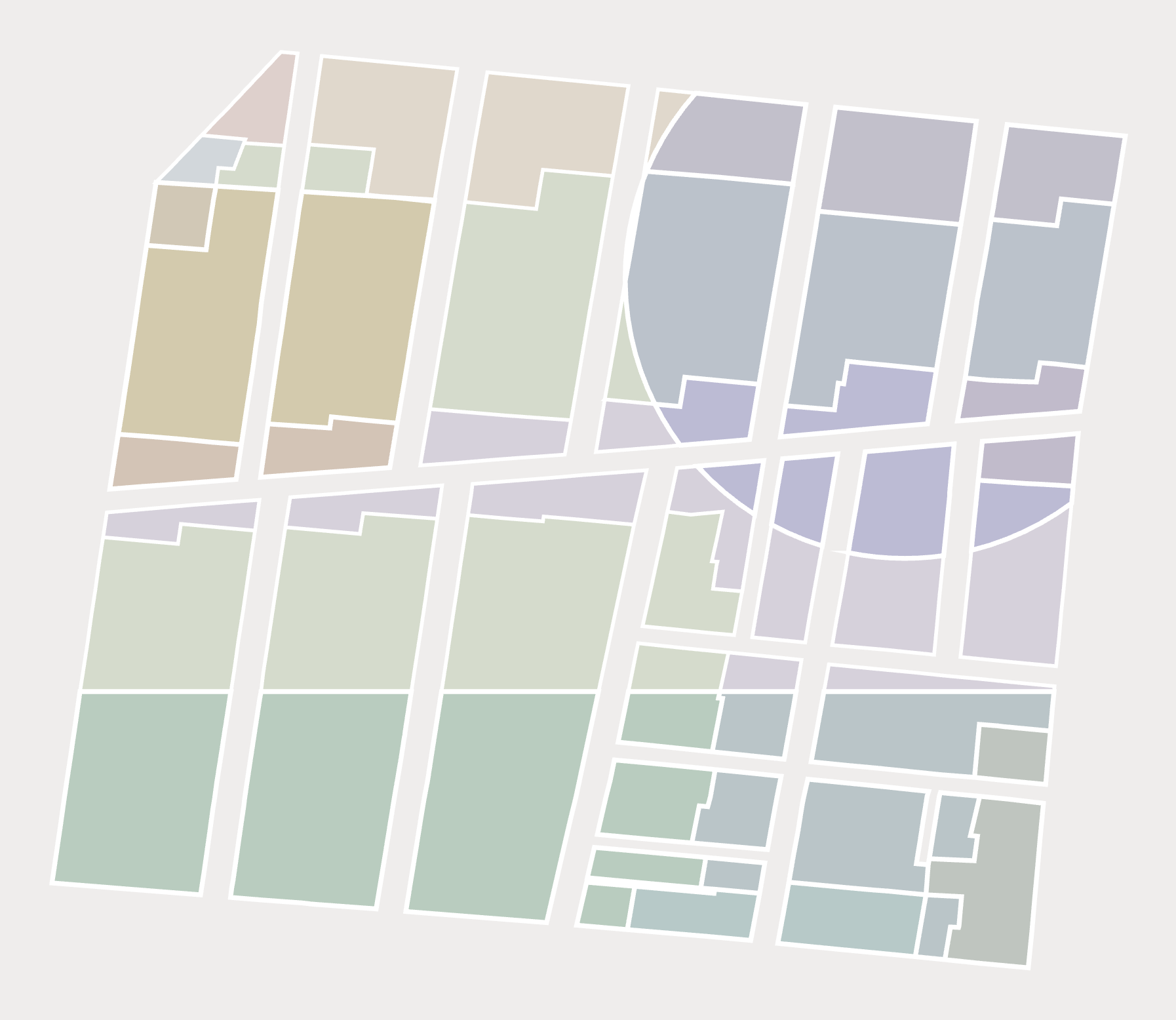
Compare candidate sites with Zoning Slices
Slices flatten overlapping base and overlay districts into non-overlapping polygons, each carrying exactly one set of prevailing rules. Once a shortlist is down to a handful of sites, Slices show what’s allowed on each parcel, facilitating site selection before anyone goes into the field.
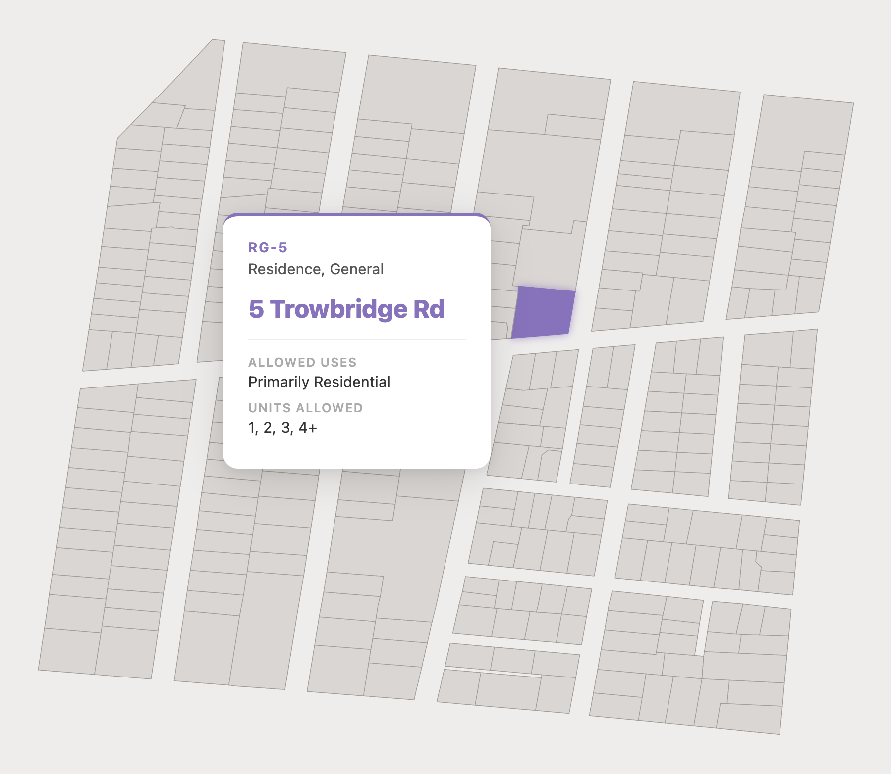
Document site rules with Parcel Reports
When you need to know everything about a single site for a permit application or due diligence, our on-demand PDFs summarize every zoning rule for a specific parcel. That means the governing district(s), allowed uses, and key dimensional requirements like setbacks and height limits.
Need custom analysis?
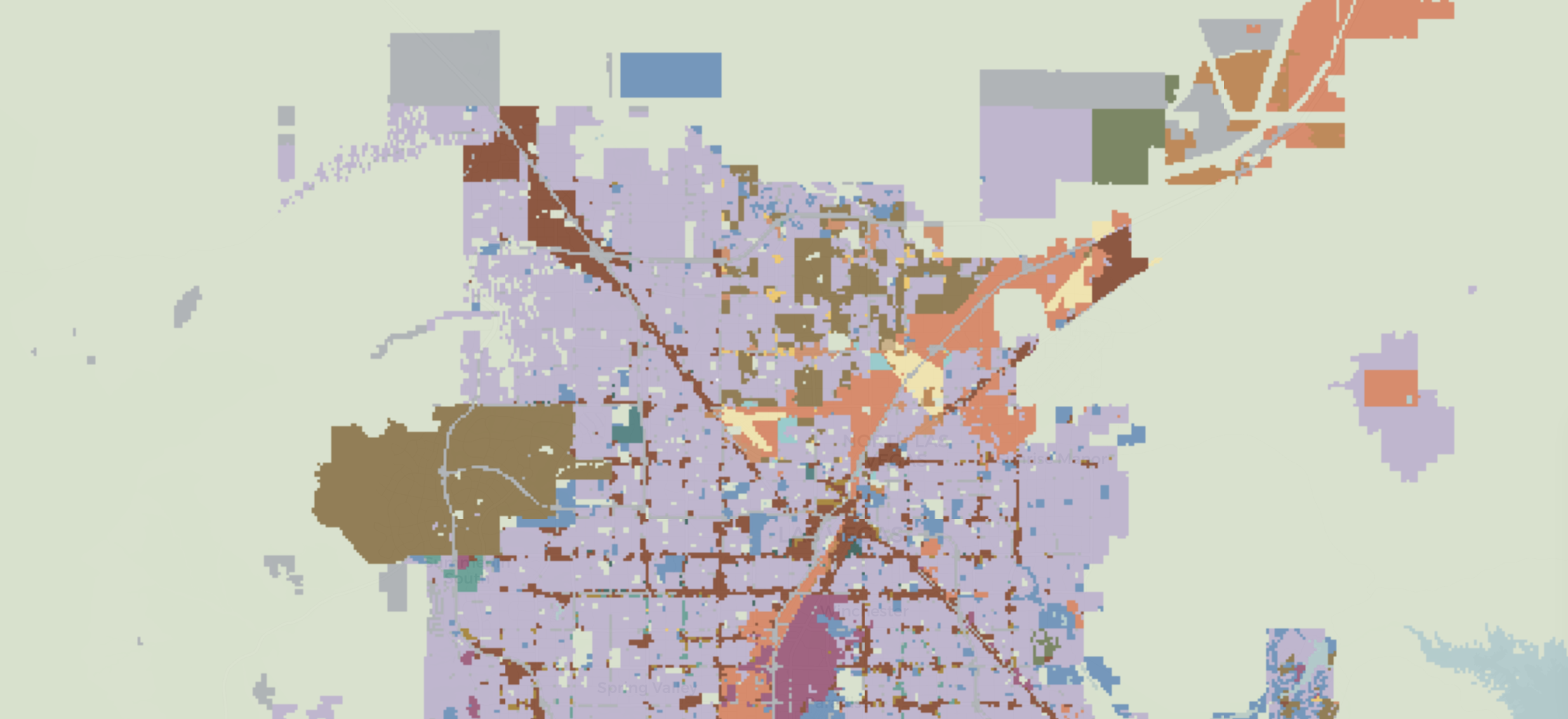
When an off-the-shelf dataset isn't enough, our team conducts tailored analysis: regulatory baselines for a defined study area, multi-site suitability and constraint screens, and geospatial computation at any scale.