
Flag zoning issues before they become problems.
Most title and underwriting risk is visible if you know where to look. Zoning isn't. A property can be cleanly titled and fully insured and still carry an illegal use or structure. These exposures only surface when an owner tries to rebuild or sell. Land Use Labs makes them easy to see, before they become bigger problems.
Find the right product.
Select the option closest to your need to see which product fits.
Underwrite at scale with the Zoning API
Send every address in your book to the Zoning API and get back the zoning rules that govern it: permitted uses, dimensional requirements, parking, and more, as a structured JSON object. Build zoning checks into your underwriting and title workflows so every file carries its zoning from the moment it enters your system, whether you process ten files a day or ten thousand.

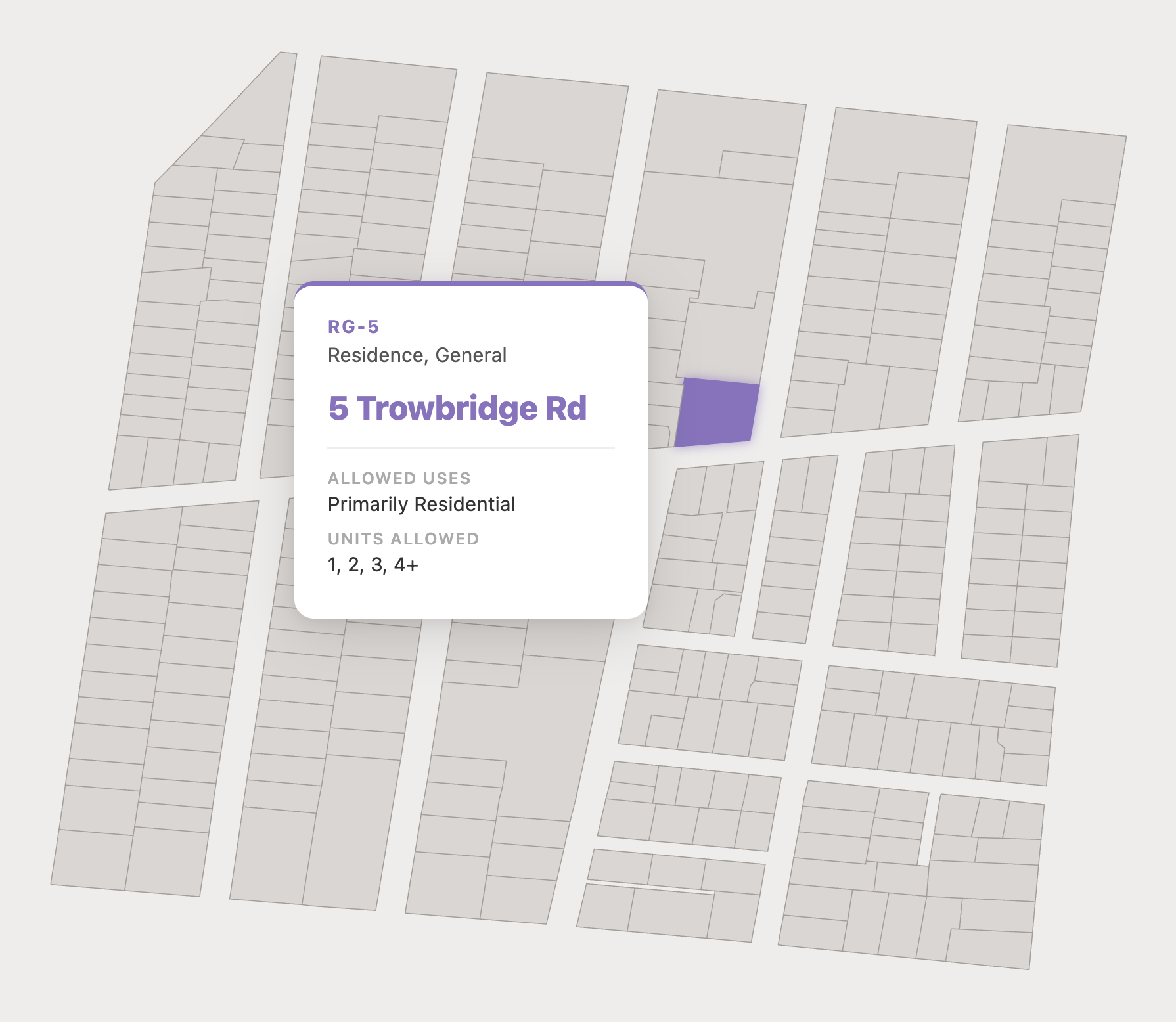
Verify a property's zoning with Parcel Reports
Our Parcel Reports deliver a single PDF confirming the allowed uses and dimensional rules for any address. It gives you a defensible zoning record in minutes, supporting due diligence and conformity analysis while reducing risk on every file.
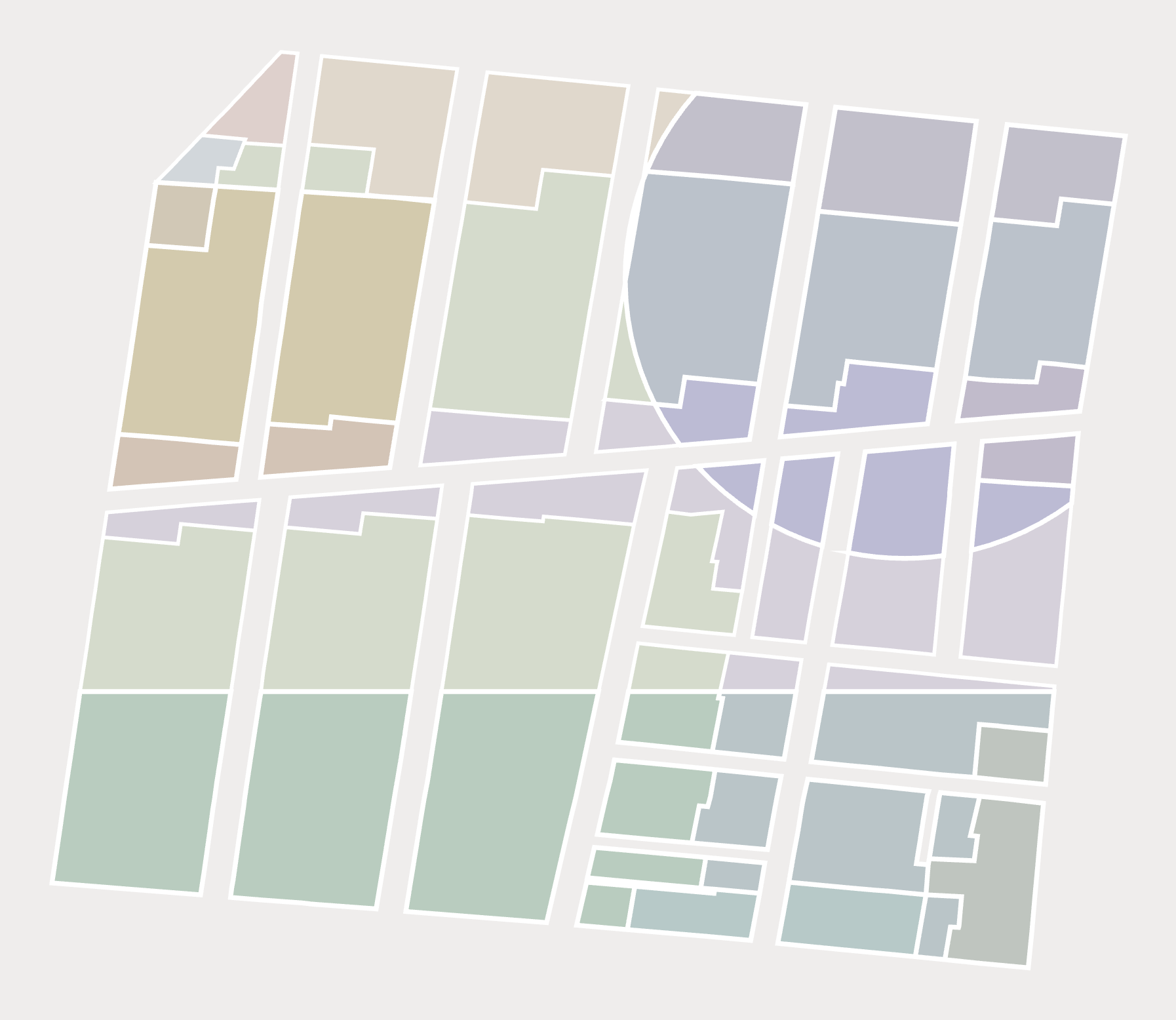
Analyze exposure with Zoning Slices
Zoning Slices compute prevailing zoning rules and are primed for integration with your property data stack. Turn a per-file lookup into a portfolio-level risk signal you can anticipate and underwrite against.
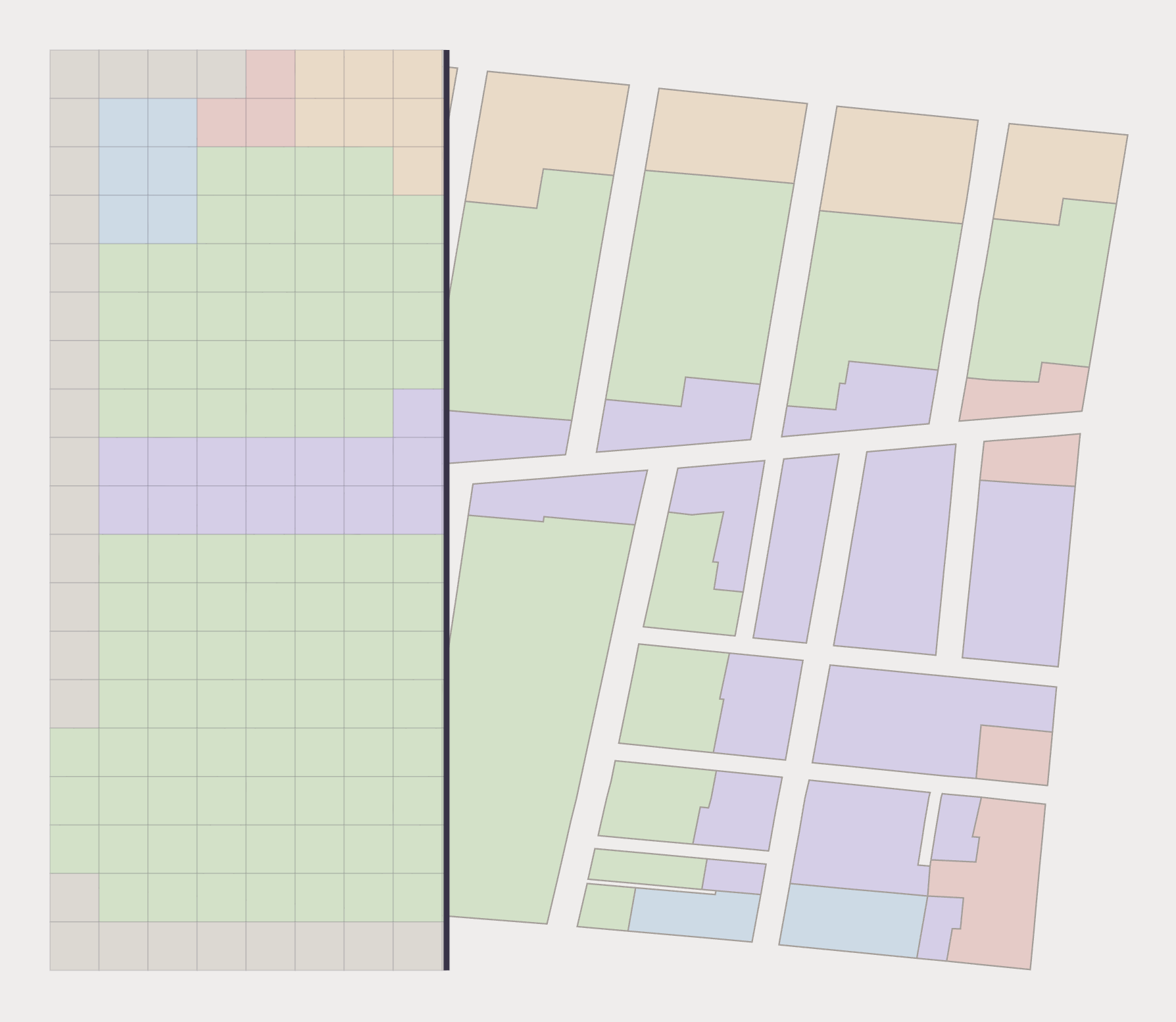
Review risk and compatibility with Zoning Rasters
Zoning Rasters standardize allowable uses on a 30x30m grid across a billion-plus acres, built for environmental analysis and data integration with your existing geospatial environment.
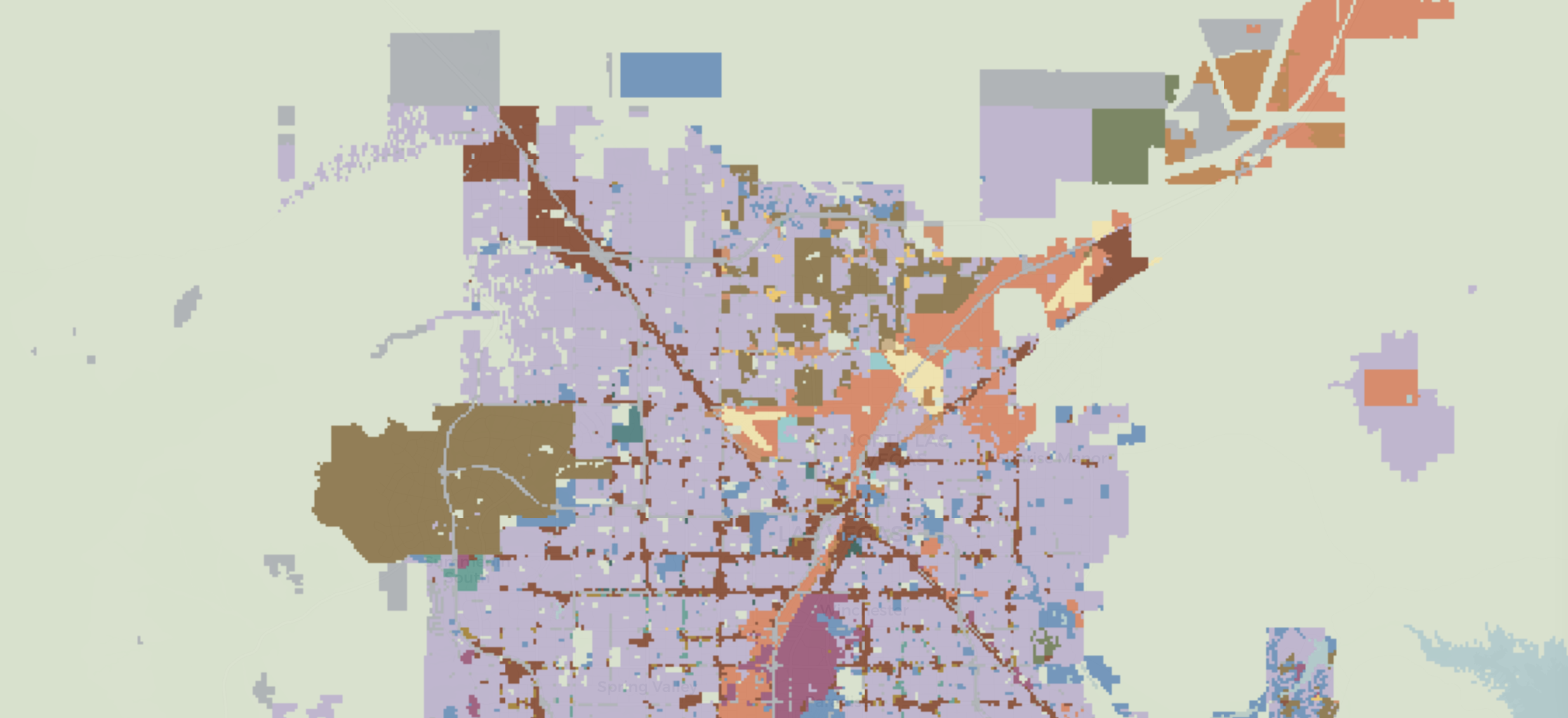
Need Something More?
If our off-the-shelf products aren't enough, our team is equipped to handle complex geospatial analysis. And if you need nationwide coverage or want zoning delivered straight into your systems through our Zoning API, get in touch with us for an estimate.