
Stop reading zoning codes.
Start building.
Deals are won and lost in the search. Until now, finding parcels where density and dimensional rules line up with a feasible pro forma has meant grinding through zoning codes one jurisdiction at a time, often ruling a site out after hours of work. Land Use Labs allows you to screen entire markets at once and move on the few sites that pencil. Turn zoning from a research bottleneck into a competitive edge.
Find the right product.
Select the option closest to your need to see which product fits.
Check your shortlist with the Zoning API
Already know which parcels you're chasing? Send each address to the Zoning API and get back the zoning rules that govern it — permitted uses, density, height limits, setbacks, parking, and more — as a structured JSON object. Run every site on your list through your feasibility model, all without opening a single code.

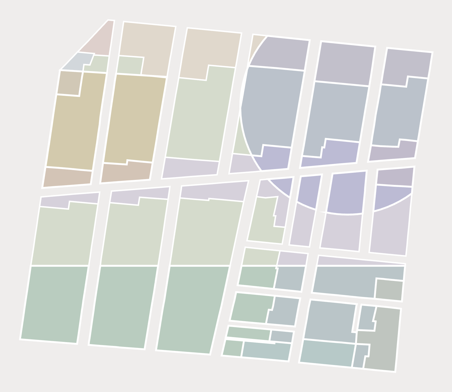
Zero in on a site with Zoning Slices
Zoning Slices are the only product on the market that computes prevailing zoning regulations: every overlapping base and overlay district flattened into non-overlapping polygons, each with exactly one set of governing rules. Slices allow you to screen parcels in your market by density, use, parking requirements, and more—then rank sites by as-of-right potential.
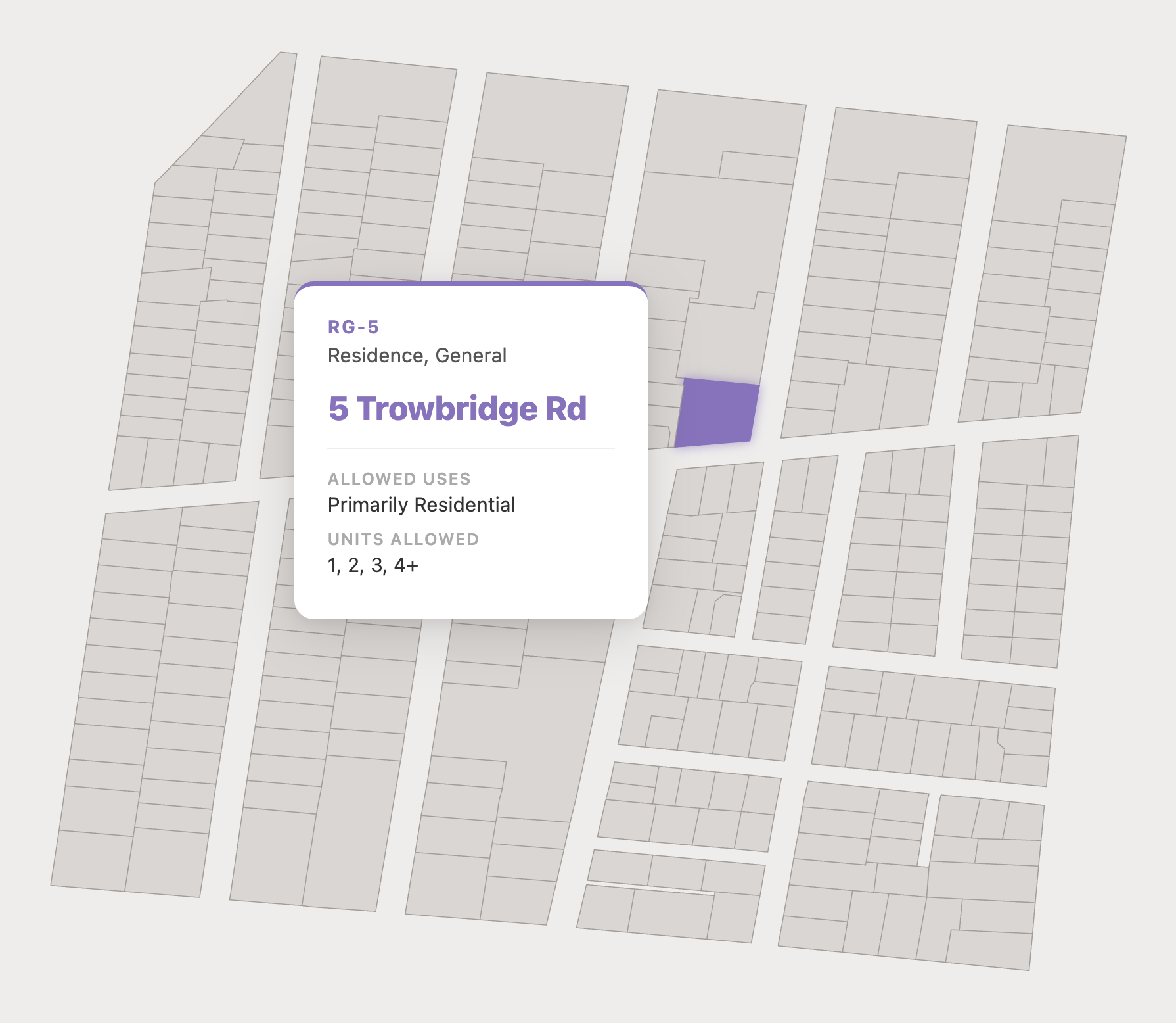
Get all the details with Parcel Reports
Parcel Reports lay out every rule for a given parcel, from allowed uses and density, to height caps and overlays. Development feasibility and due diligence take minutes instead of weeks, and your architect and lender work from the same source of truth.
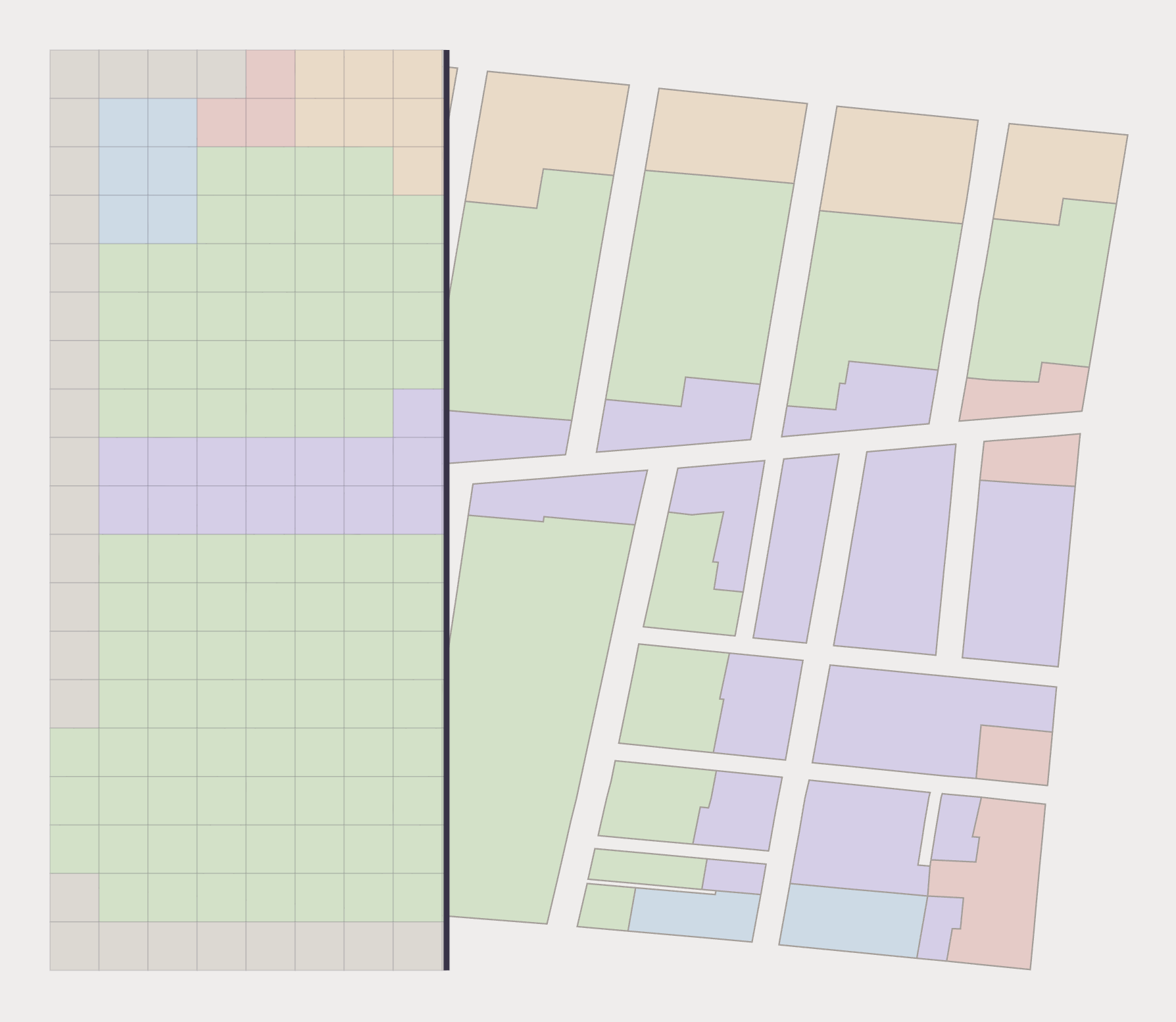
Site industrial and commercial uses with Zoning Rasters
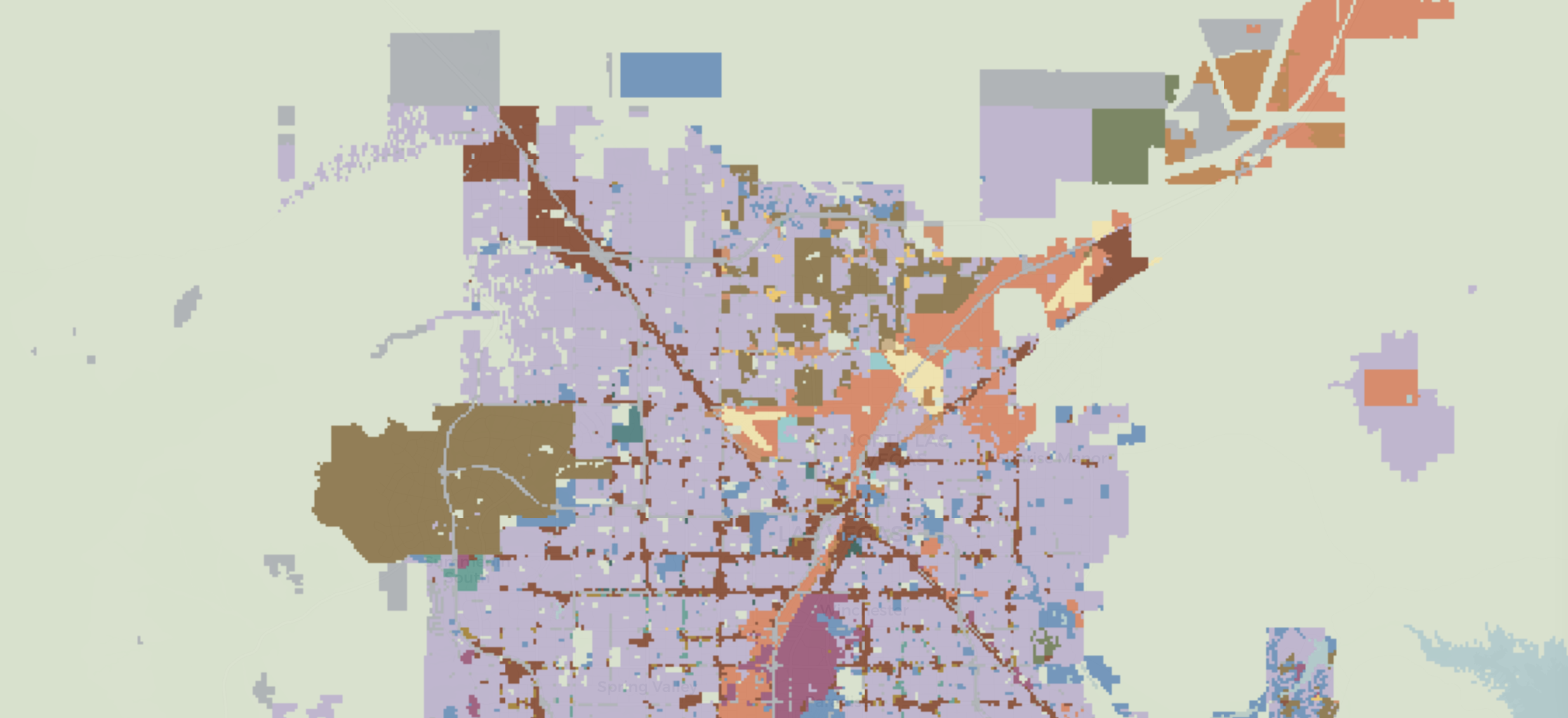
Zoning Rasters distill permitted residential and nonresidential uses into 30x30m grid cells spanning more than 1 billion acres, giving you a continuous surface of where nonresidential development is allowed rather than a patchwork of separate codes. Screen entire regions in one pass, spot suitable corridors, and feed the grid straight into your own models.
Need Research Support?
When you need an extra set of hands to support your research, our multidisciplinary team is ready to assist. As the leaders in land use data and analytics, we combine expertise in geospatial data science with best-in-class legal acumen.
Whether you need custom data transformations or clean visualizations, we’re here to help.