
Expert Analysis, Built For You
Land Use Labs brings the depth of the National Zoning Atlas — and the expertise of the people who build it — to your project.
The National Zoning Atlas is a one-of-a-kind resource. So are we.
What We Offer
Having the right data is only half the battle. Knowing what to do with it is where the real work begins. Land Use Labs has assembled an award-winning team who can translate zoning data into actionable insights.
Our services include:
Spatial and Demographic Analyses: Analysis of the relationship between zoning and existing/future land uses, development, and population patterns.
Projections: Modeling of future growth scenarios relating to zoning, land uses, housing, and population.
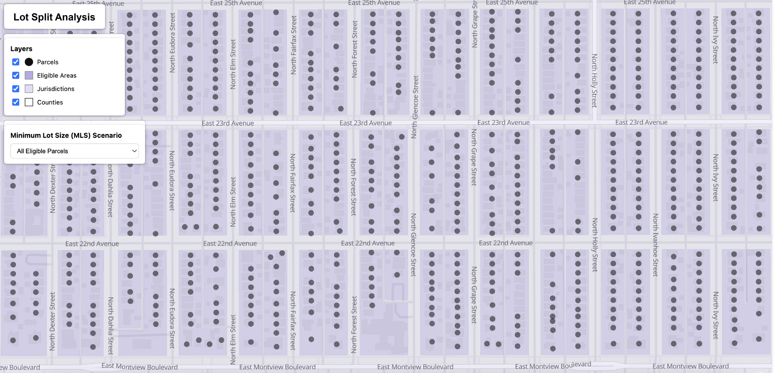
Parcel-Level Analyses: Site-specific assessment of feasibility, development potential, zoning constraints, and regulatory context.
Impact Studies: In-depth analysis of the relationship between zoning and mobility, transit access, environmental impacts, infrastructure capacity, and more.
Policy Reviews: Assessment of the impact and utility of current or proposed policy interventions, such as zoning amendments.
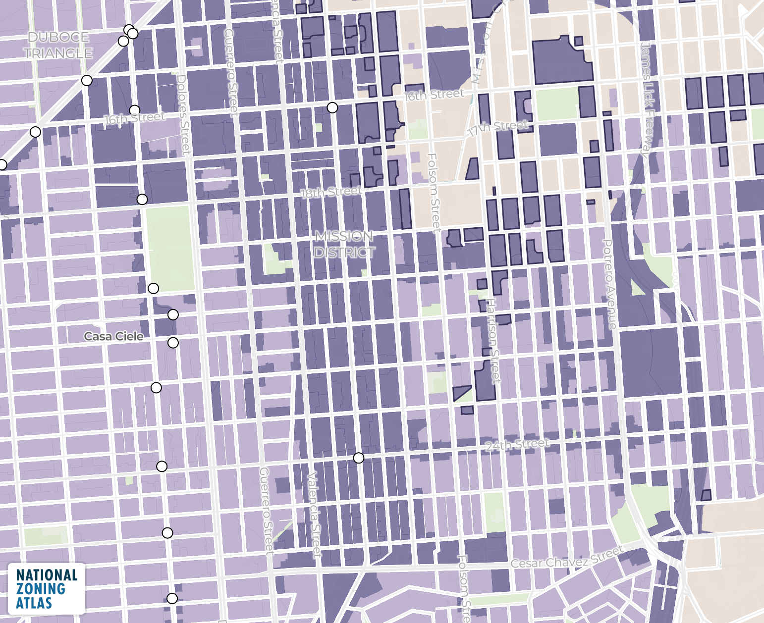
Graphics and Data Visualization: Custom charts, infographics, maps, and dashboards that make complicated zoning and land use data accessible to any audience.
WHO WE WORK WITH
Government Agencies · Advocacy Organizations
Environmental and Transportation Consultants · Policymakers
Law Firms · Real Estate Professionals · Media and Journalists
Ready to Engage?
Share a few details about your project and we'll reach out to talk through how we can support your work.
Long live accessible zoning for everyone.
By licensing our data, you support the National Zoning Atlas.