
Zoning
Slices
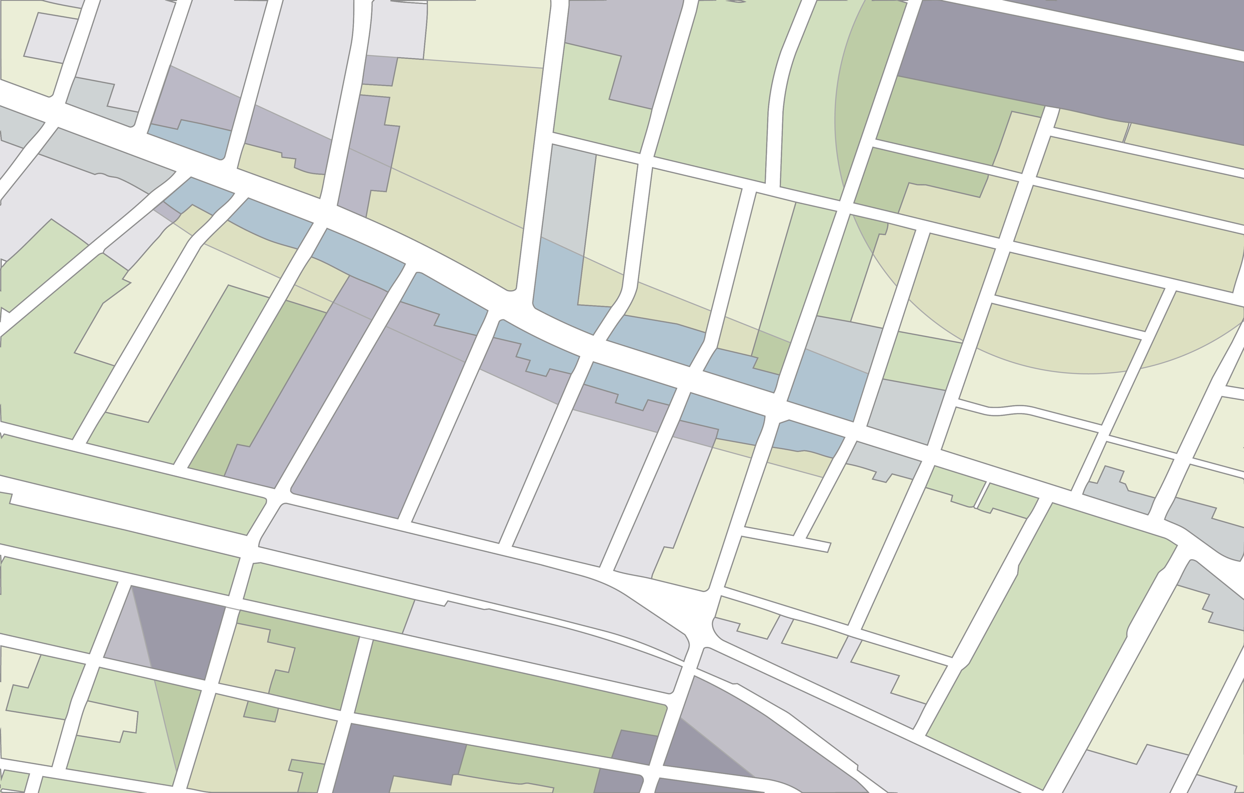
GIS layers that merge base and overlay districts into unique geometric combinations (“Slices”) to compute prevailing regulations — so you don’t have to.
Super-power
your analysis.
Zoning Slices are built using a custom flattening procedure that collapses every overlapping combination of base and overlay districts into individual, non-overlapping polygons, or "Slices." Each Slice holds exactly one set of governing rules, so you never have to resolve overlapping layers yourself.
You choose the geographies and regulations you need. We deliver the GIS layers you can plug directly into your data pipeline.
All of the regulations provided in our Zoning Slices are defined in our data dictionary. Terms are available in our glossary and abbreviations guide.
Product Specifications
Coverage
160,000+ Slices
Available for purchase by jurisdiction or county on this website; contact us for purchase by CBSA, state, or region, or for national coverage.
Unit of Analysis
Zoning Slice
A unique geometric combination of base and overlay district(s).
What's Included
Customizable variables
Your choice of zoning outcome(s) covering residential and nonresidential use permissions, ADU allowances, building heights, parking mandates, and minimum lot sizes, as further defined in our Data Dictionary.
A license to use delivered information internally; for external or display purposes, contact us for a custom license.
Format
Analysis-ready GIS data
Explore the data before you buy.
Download a sample Zoning Slices GeoJSON for Lafayette, Colorado — and check out our data dictionary to see every regulation we collect, how we code them, and how they’re defined
Enter a geography to get started.
Zoning Slices are delivered in three formats (Geodatabase, GeoJSON, and GeoPackage) and are available for purchase below at the jurisdiction and county levels. For custom geographies, please contact us.
Type in the name of the jurisdiction (e.g., city, town, township, county) without typing in the state name. Then select the jurisdiction from the results.
Use the checkboxes to select each variable (or set of related variables sold together). All variables are further explained in our data dictionary. Each order includes all base variables listed in the data dictionary. Hover over any checkbox for details.
Not sure if Zoning Slices are the right fit?
We make five data products built for analyzing zoning, each designed for a different question, scale, and workflow. Explore them here.
| Product | What you get | Best for | Unit of analysis | Format | Pricing |
|---|
Long live accessible zoning
for everyone.
By licensing our data,
you support the National Zoning Atlas.
Learn More.