
Parcel Reports
Parcel Reports are on-demand reports summarizing zoning rules for 80+ million individual parcels across the country. They provide comprehensive information about applicable regulations for the selected lot.
WHAT ARE PARCEL REPORTS FOR?
Due Diligence · Development Potential Assessment
Conformity Analysis · Risk Mitigation
All you need is an address (and $250).
Parcel Reports distill dense, complicated zoning regulations into clear reports that offer information about the regulations governing the uses of the parcel, as well as their development and dimensional requirements. They identify relevant zoning district(s), allowed housing, and most common nonresidential uses. All of the terms used in our Parcel Reports are defined in our glossary and our abbreviations guide.
-
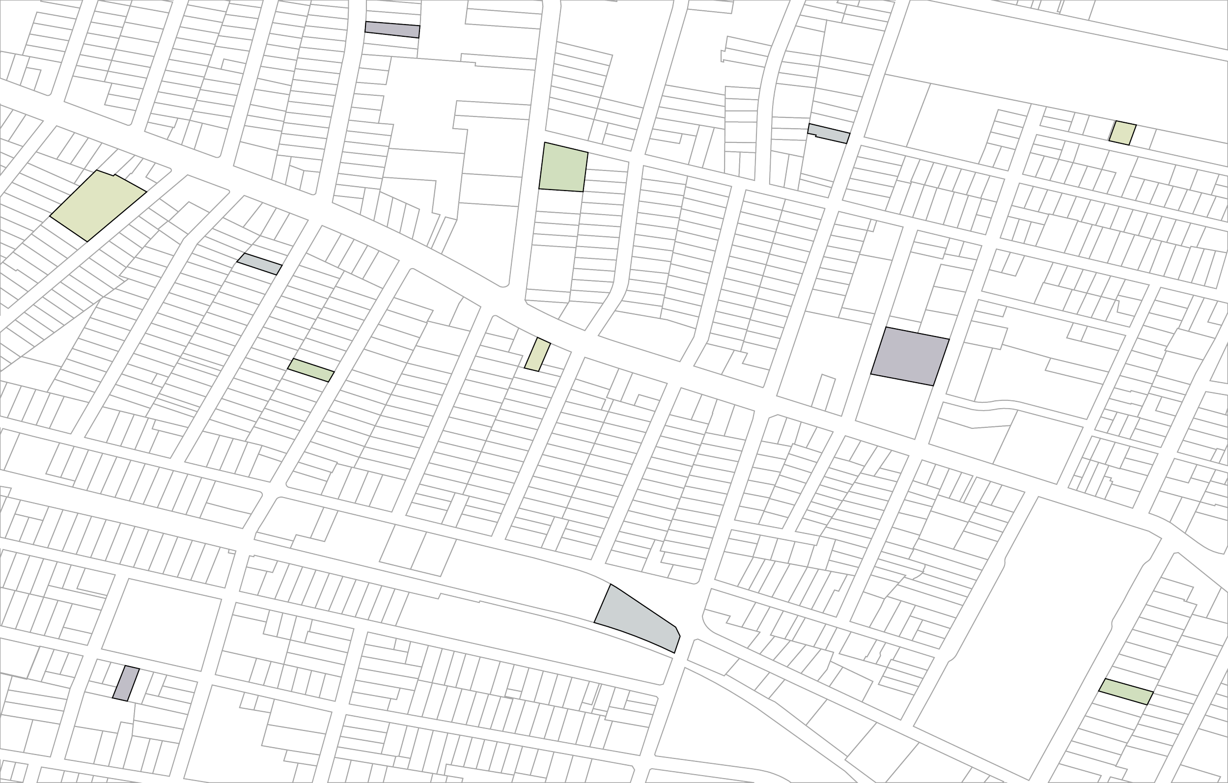
Parcels (i.e., individual legal lots)
-
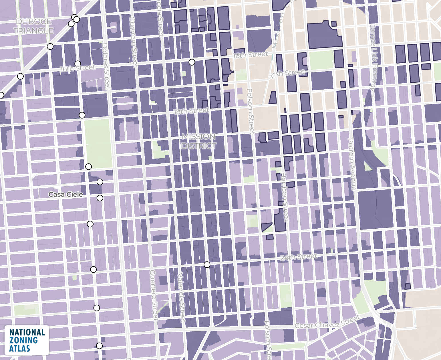
Zoning district(s) including base and any overlay district(s)
-
Everything but the kitchen sink! Parcel Reports include all of our data about a property’s:
Zoning classification (including base district and any overlay district(s))
Residential use permissions (for 1-, 2-, 3-, and 4+-family housing, and accessory dwelling units)
Most common nonresidential use(s) permitted
Lot development regulations, including
minimum lot sizes
lot coverage
setbacks
Building development regulations, including
maximum height
floor-to-area ratio
-
Structured PDF, with charts and explanatory text, as defined in our glossary and abbreviations
Interested in a Parcel Report?
Format: street number + name, city, state — e.g. “360 State Street, New Haven, CT 06510”
Long live accessible zoning for everyone.
By licensing our data, you support the National Zoning Atlas.