
Researching housing? Get zoning data at scale.
Housing research has a data-availability problem. The biggest lever on supply—local zoning—is also the hardest variable to collect and measure across geographies, locked within thousands of incompatible texts and maps. Land Use Labs brings standardized, analysis-ready zoning data to researchers for the first time.
Analyze prevailing rules with Zoning Slices
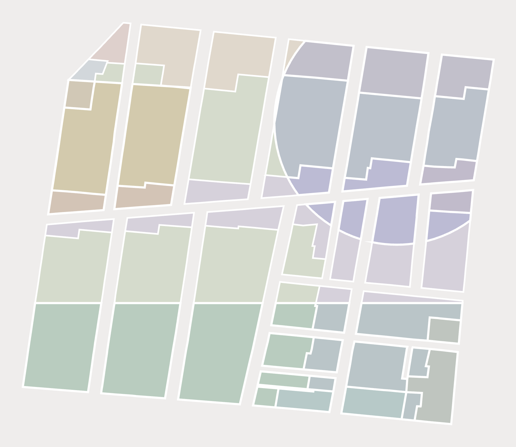
A custom flattening procedure collapses every overlapping base and overlay district into non-overlapping polygons, each holding exactly one set of governing rules. With Slices, you can measure what zoning actually requires, not just what a given district says. Every polygon is ready for regression and geospatial analysis and can integrate cleanly with your existing datasets.
Build cross-tabs with Zoning Tables
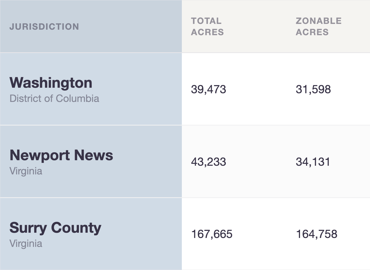
Zoning Tables provide summary statistics on zoning, housing, land cover, and demographics at standard geographies: block groups, census tracts, jurisdictions, or custom boundaries like PUMAs and zip codes. Tables enable cross-geography comparison and demographic cross-tabs for housing research and arrive as regulatory summaries ready to merge with your data. Need the geospatial files? We provide those too.
Conduct environmental analysis with Zoning Rasters
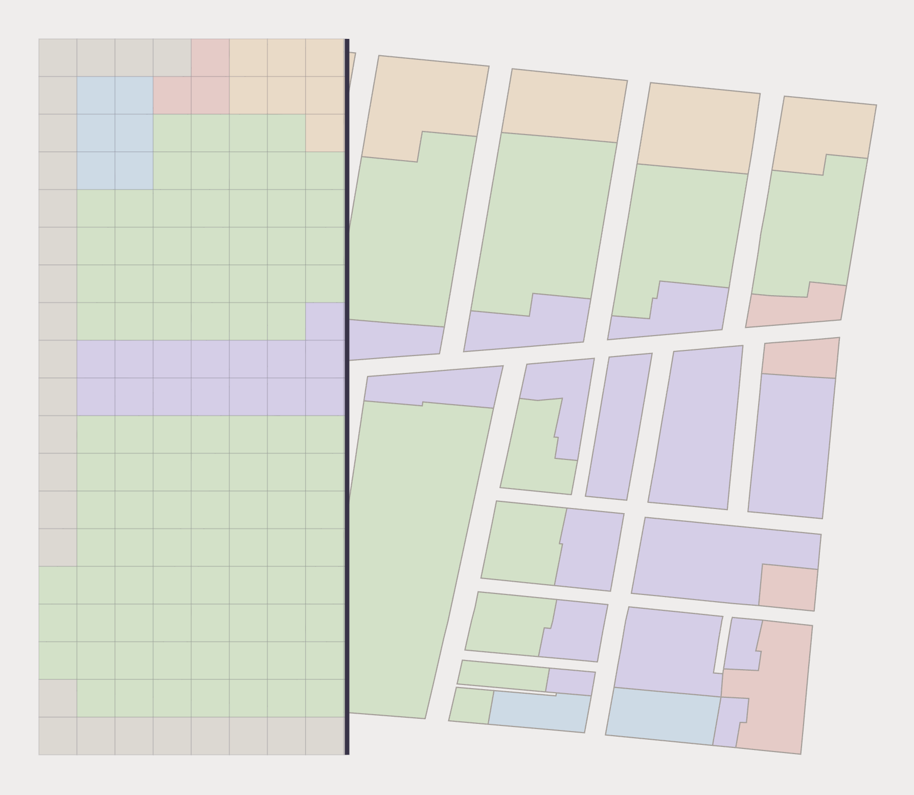
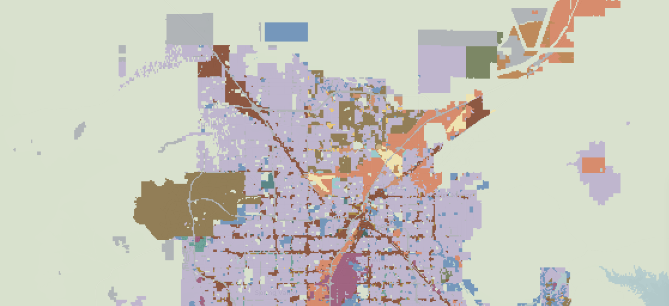
Rasters illuminate residential and nonresidential uses in standardized, 30x30m grid cells over more than 1 billion acres—a continuous surface of what zoning permits rather than what's already built. Rasters are a natural fit to model land use change and integrate with satellite and remote-sensing imagery data.
Review regulatory details with Zoning Districts
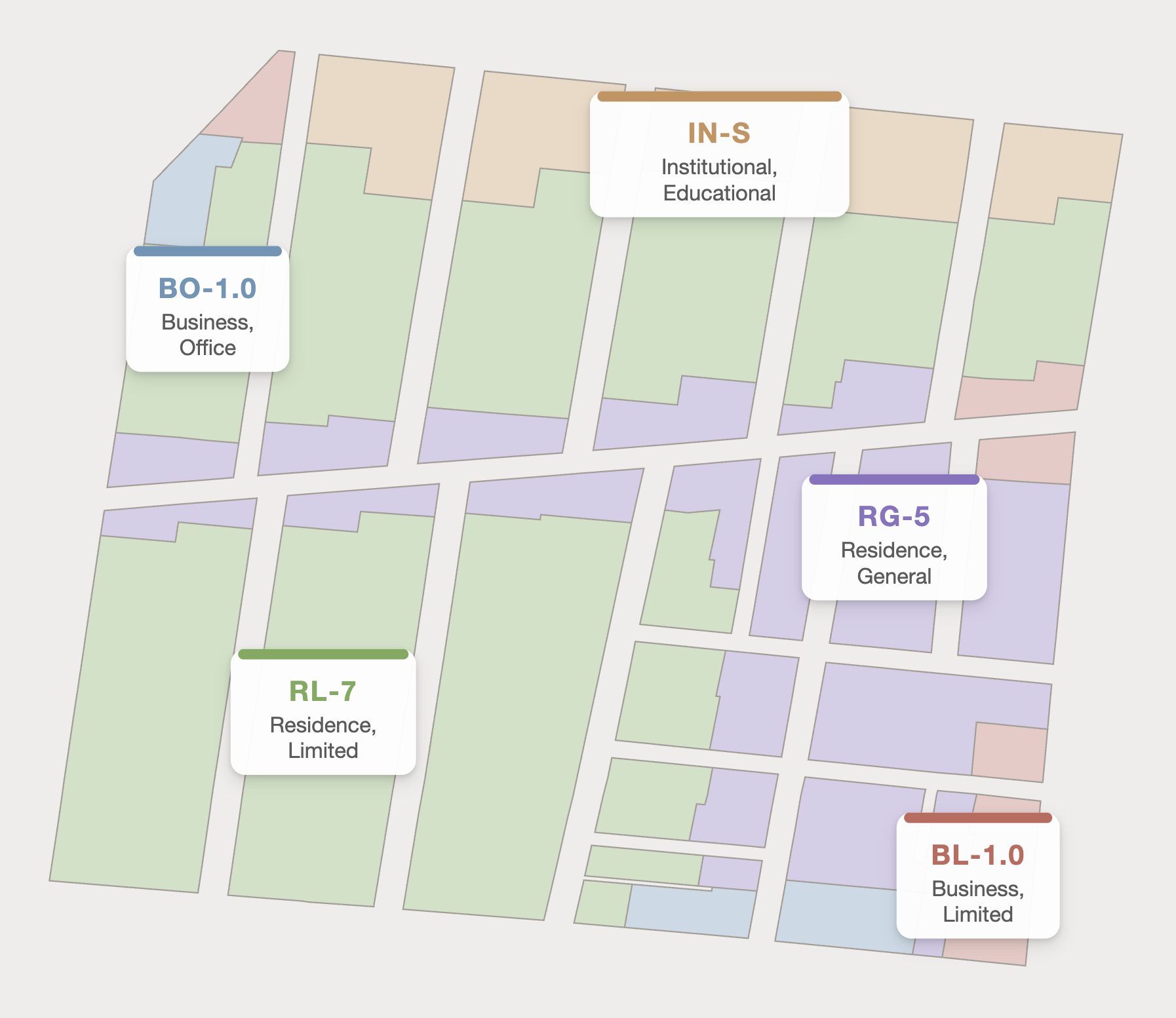
Our GIS layers reveal how each base and overlay district regulates uses, structures, and lots. Use Zoning Districts to understand exactly how each district permits residential and nonresidential uses, and determines dimensional requirements and lot characteristics.
Need Research Support?
When you need an extra set of hands to support your research, our multidisciplinary team is ready to assist. As the leaders in land use data and analytics, we combine expertise in geospatial data science with best-in-class legal acumen.
Whether you need custom data transformations or clean visualizations, we’re here to help.