
Zoning Rasters
30x30 meter grid cells that standardize residential and nonresidential uses for high-level analysis, planning, and data integration.
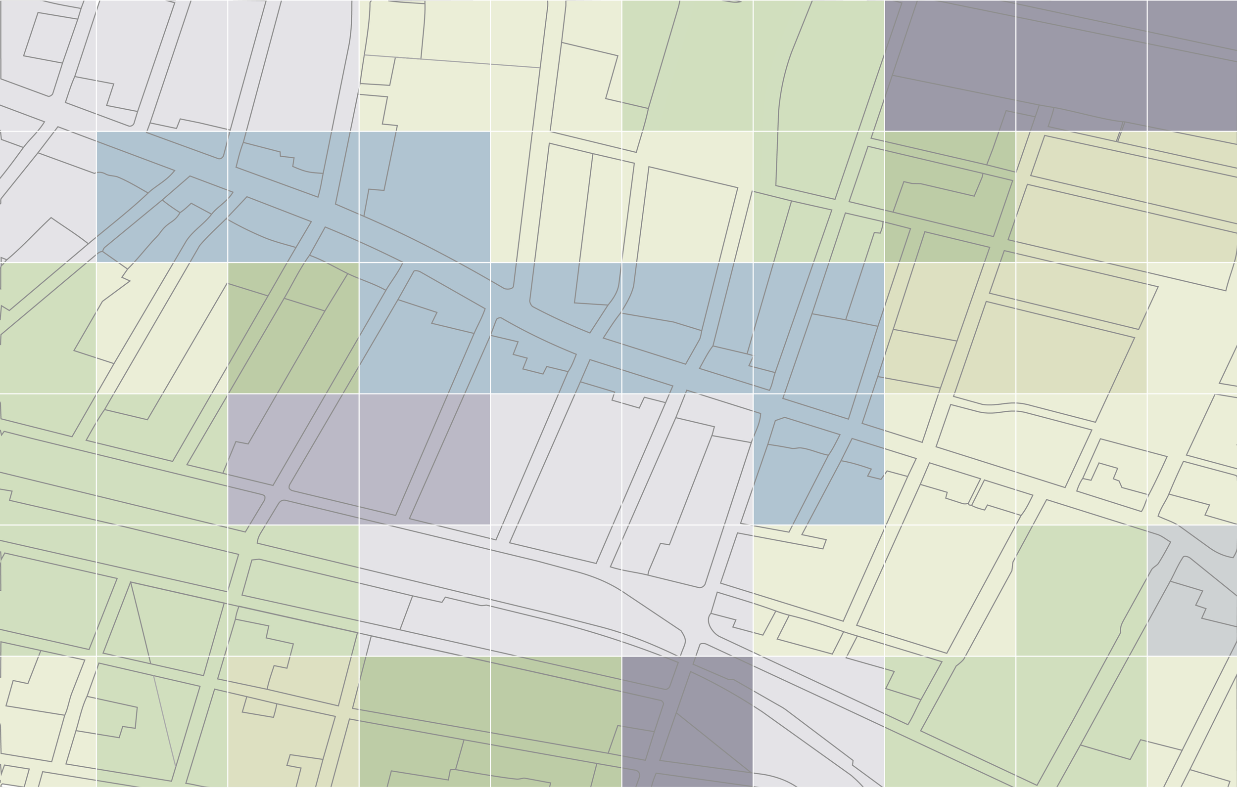
Zoning Rasters reveal the future of our places.
Zoning Rasters offer a standardized overview of the types of residential and nonresidential uses allowed in a given geography, in a raster format. Existing land-use datasets from the USGS describe urban intensity on the ground today — but not what's buildable there.
Zoning Rasters fill that gap.
At 30x30m resolution, Zoning Rasters depict the residential and nonresidential uses permitted under current zoning rules, capturing housing density and 14 nonresidential use classifications — from retail and office to industrial, institutional, and protected open space — along with roadways, water surfaces, and state and federally protected lands. The result is a ground-truth land classification layer that integrates with existing geospatial environments.
Product Specifications
Coverage
?# Rasters
Available for purchase by jurisdiction, county, CBSA, or state.
Unit of Analysis
30 × 30 meter raster cell
need.
What's Included
Customizable variables
Zoning Rasters are custom-built and can provide information about residential and nonresidential uses.
Format
Analysis-ready files
GeoTIFF.
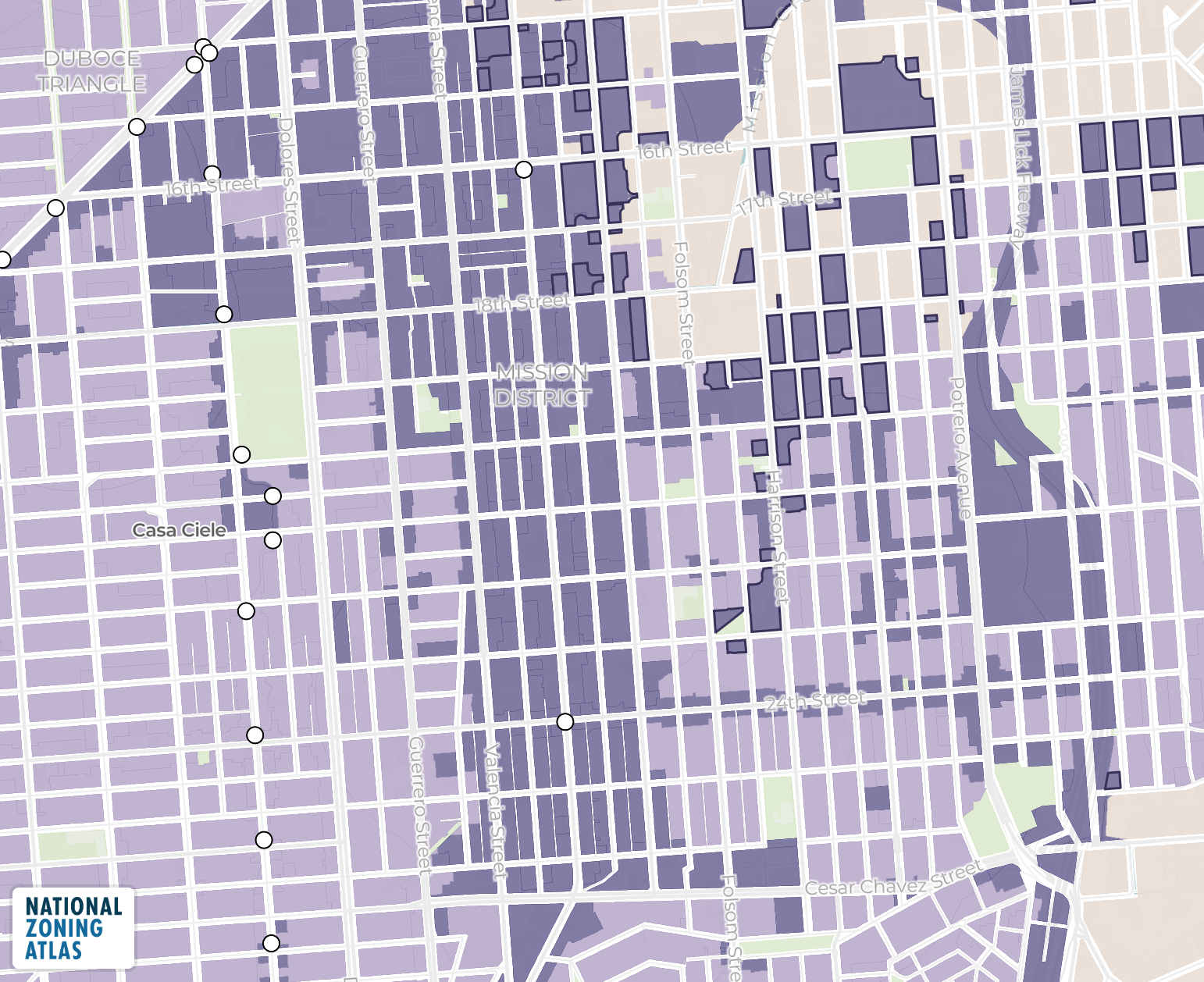
Nonresidential
Protected
Residential
Residential + Nonresidential
Unzoned + ROW
Water
Explore the data before you buy.
Explore uses in the Las Vegas area.
Interested in Zoning Rasters?
Fill out the details and we’ll get back to you with a quote ASAP.
Not sure if Zoning Rasters are the right fit?
| Product | What you get | Best for | Unit of analysis | Format | Pricing |
|---|
Long live accessible zoning for everyone.
By licensing our data, you support the National Zoning Atlas.